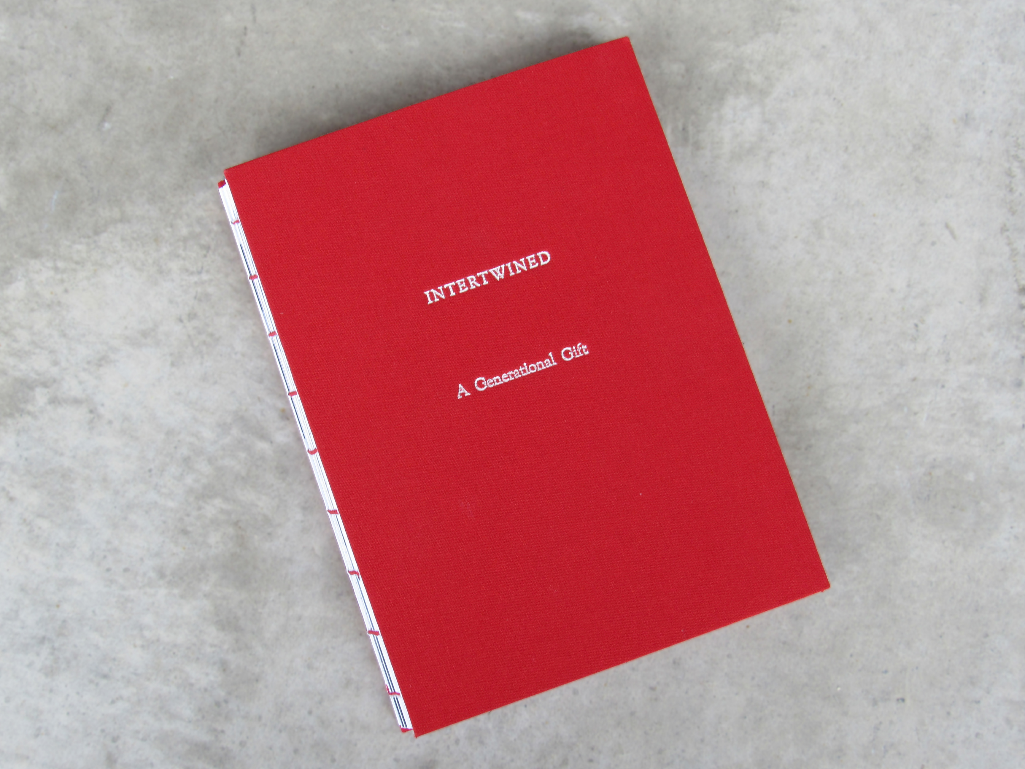
This information design project, created during my second year at university, is a print guide for visitors and newcomers to Wellington. The booklet highlights local food and drink spots in the Eastern Suburbs, offering an authentic experience of where locals spend their time. It includes a basic map showcasing three destinations, each catering to different needs: a coffee and daytime spot, a takeaway option, and the afternoon drinks spot.
Clean. Clear. Readable.

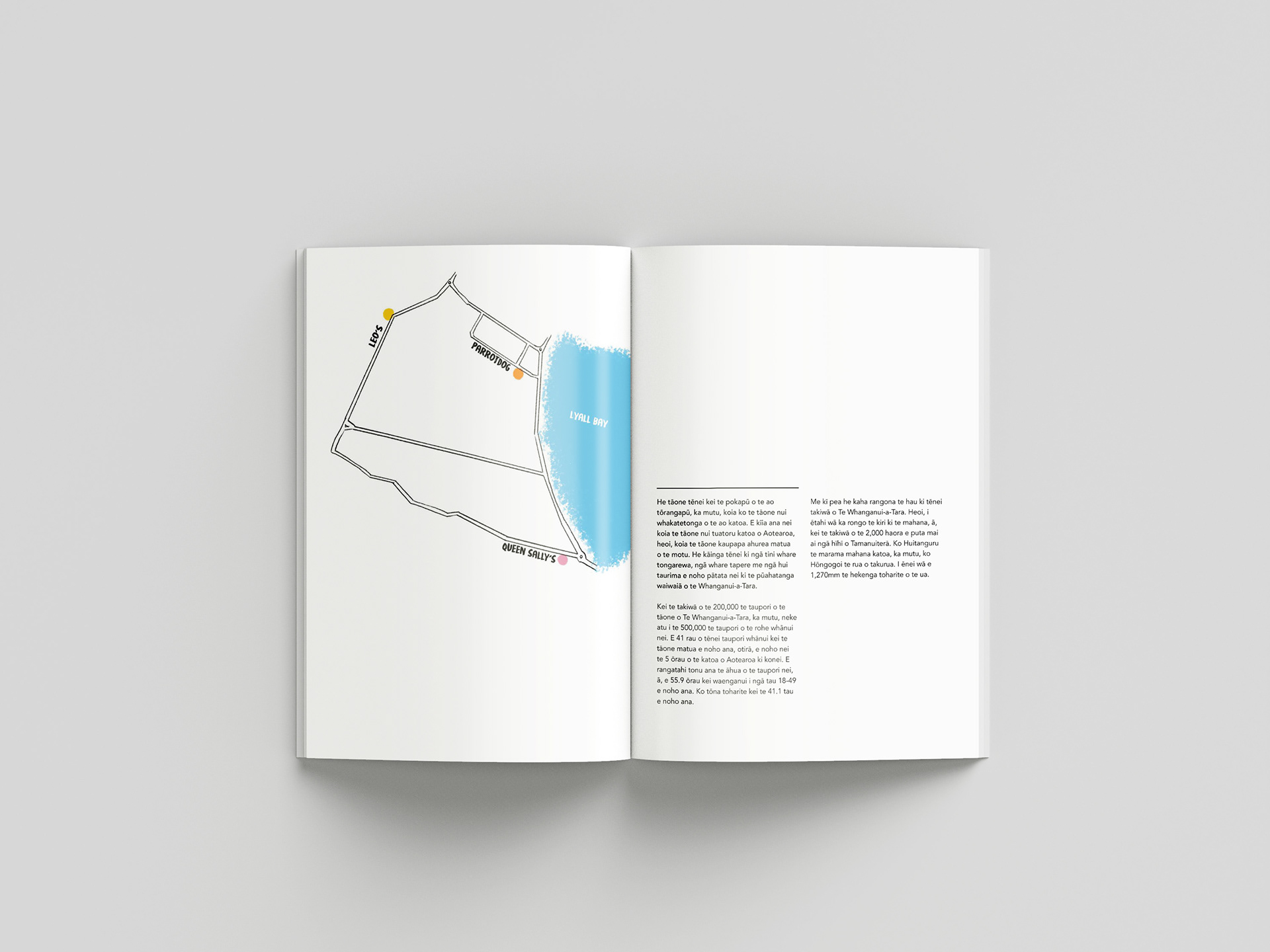

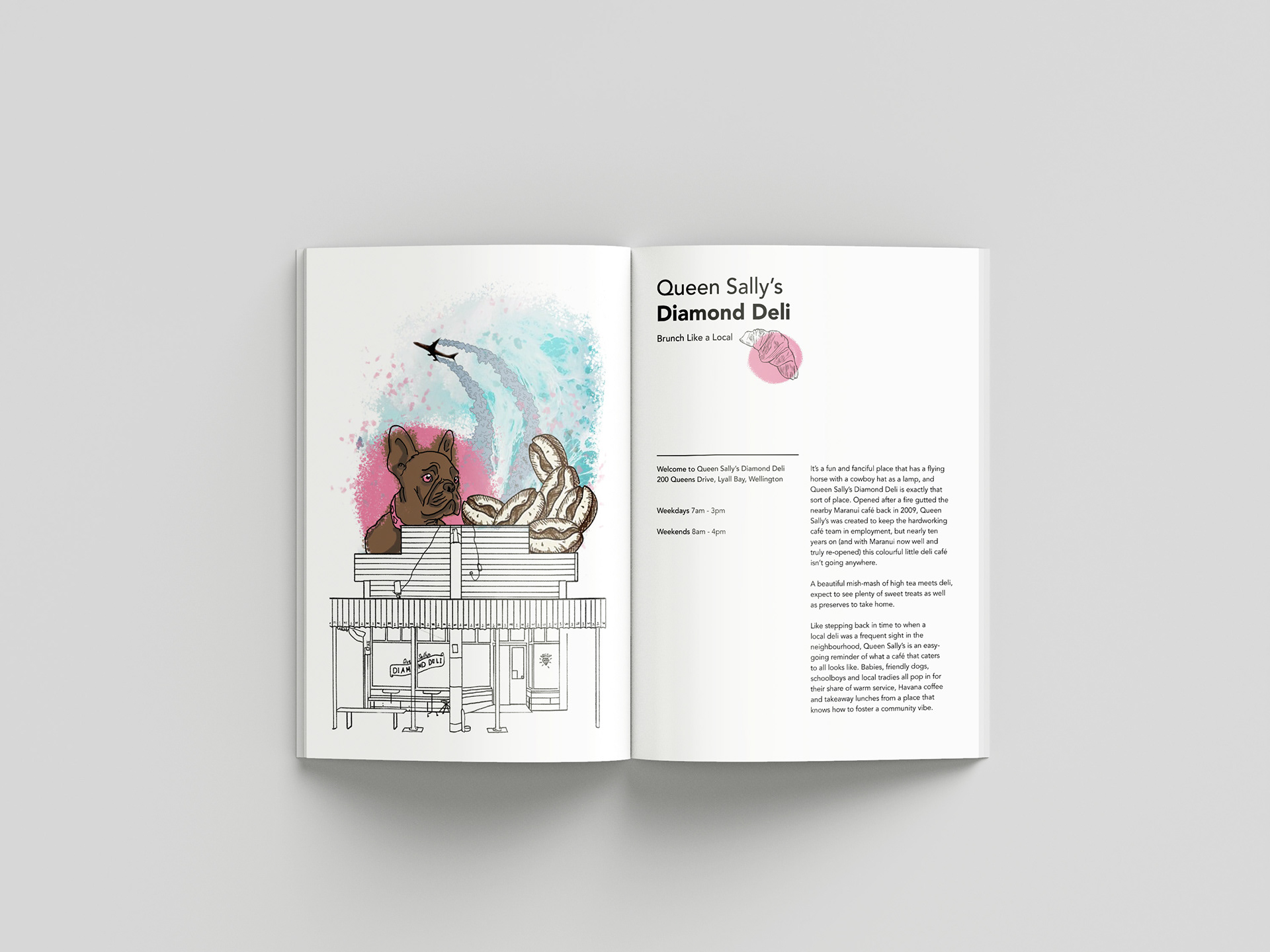
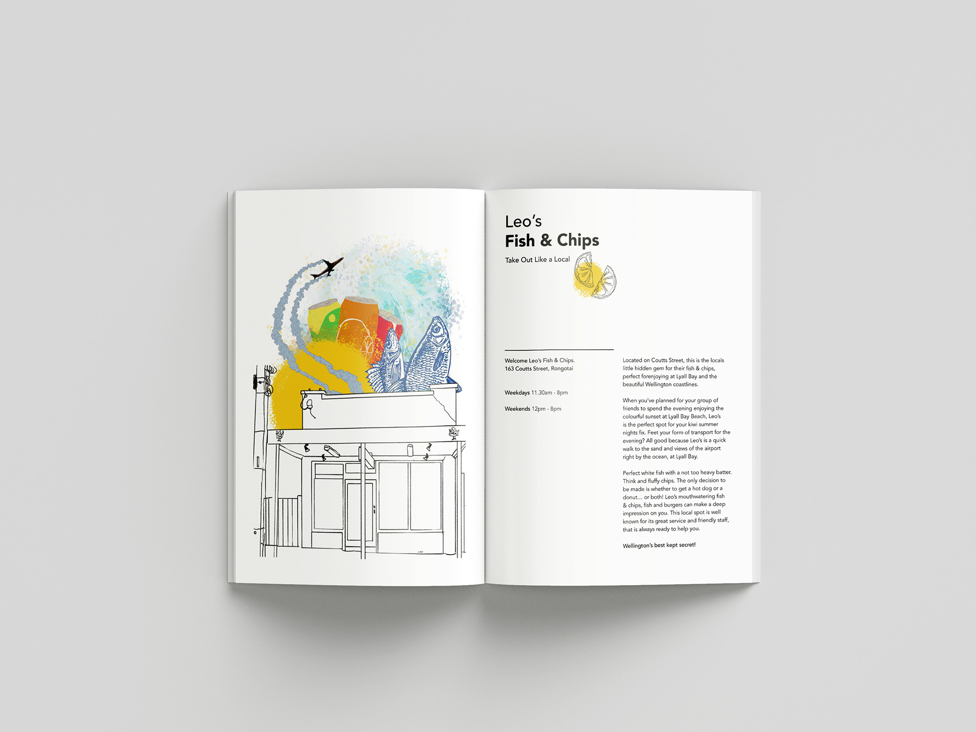
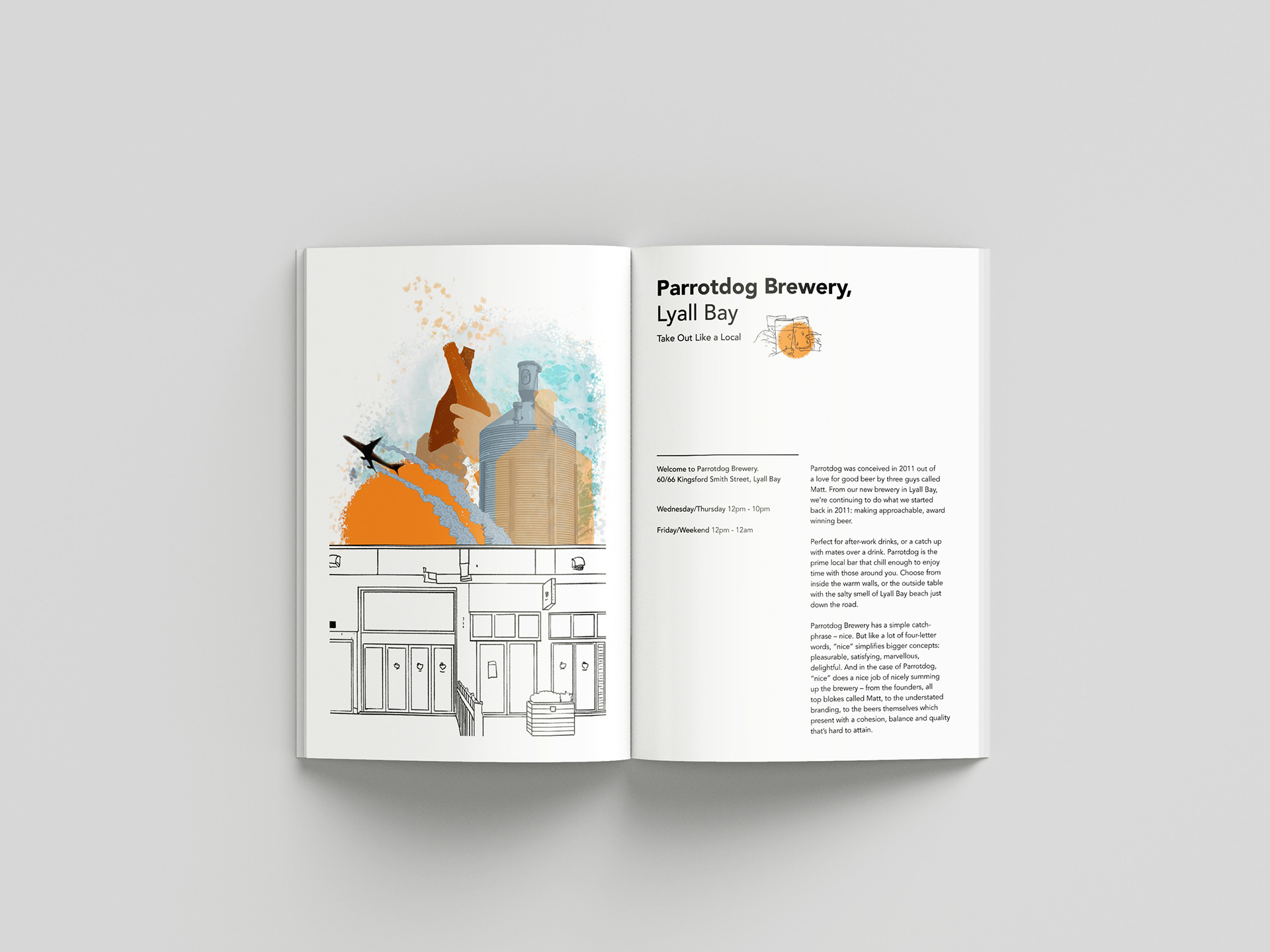
Illustration Work: Consistent elements portraying locations
My illustration style for this project is vibrant and personalized, using exciting and colourful imagery to capture the unique vibe of each location. Each illustration includes an outline of the building to represent the food place and features a consistent element—a plane—to emphasise the proximity of all spots to the Wellington airport. Each location is also assigned a distinct colour, creating a cohesive visual system to help identify and differentiate the destinations.
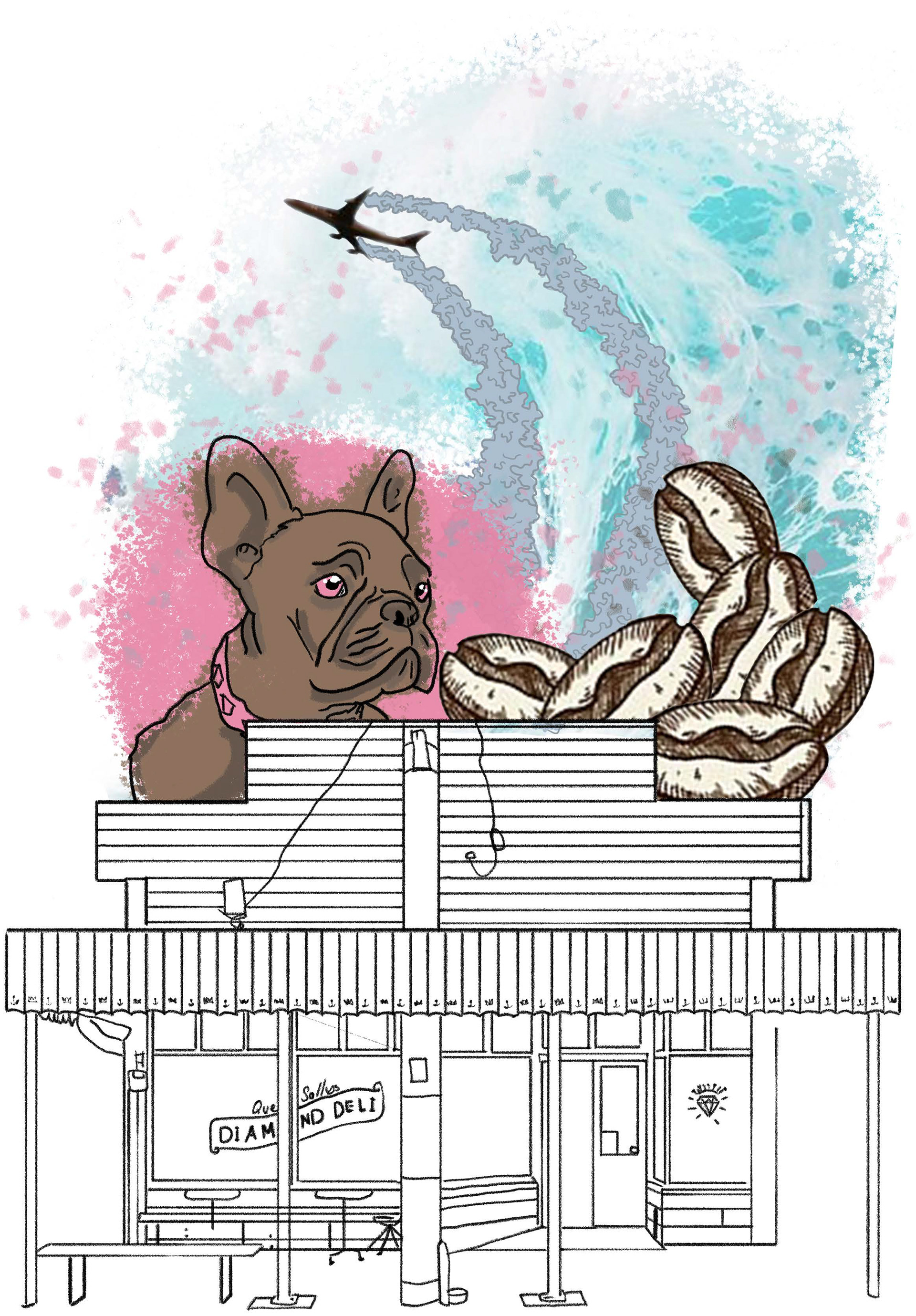
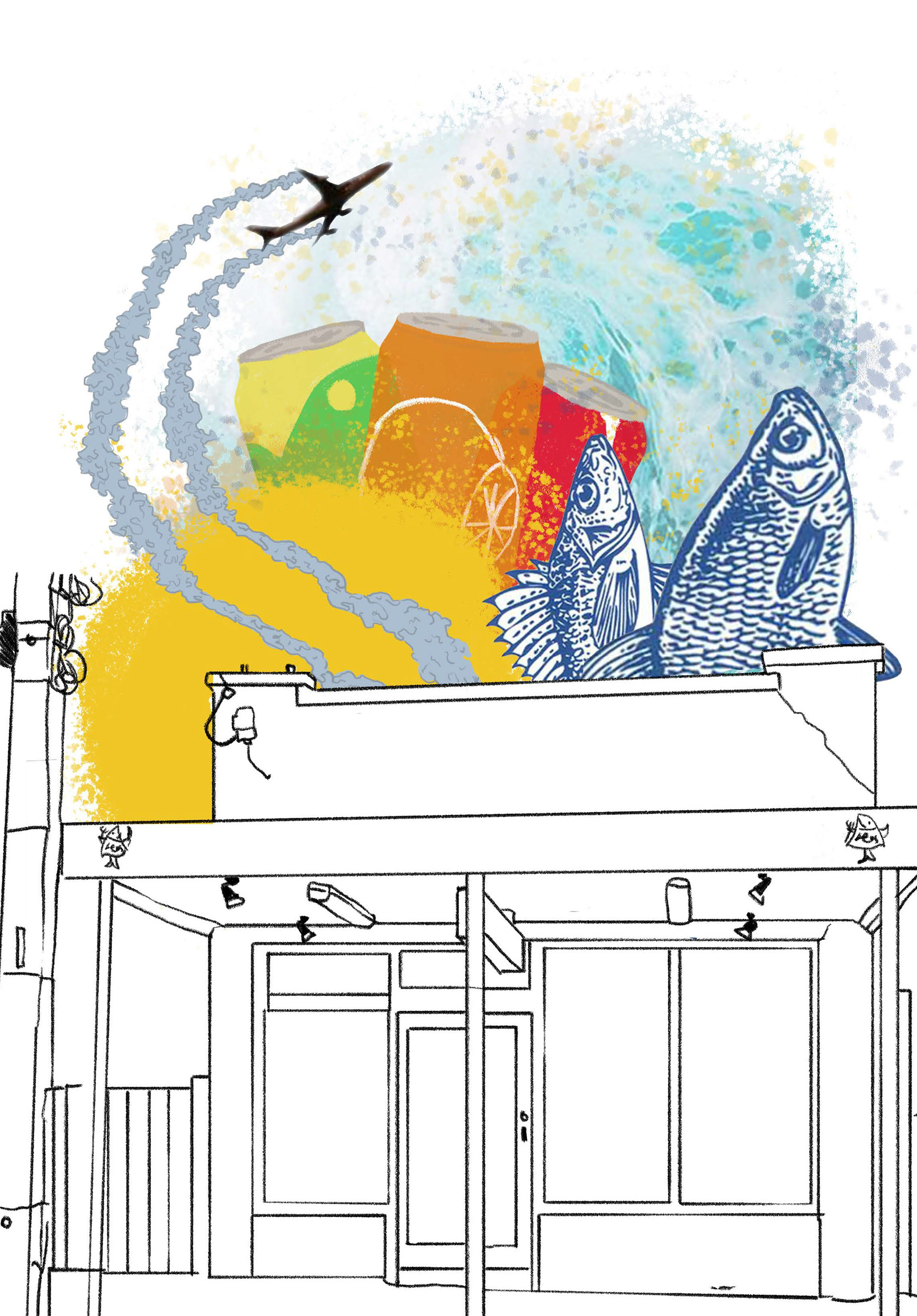
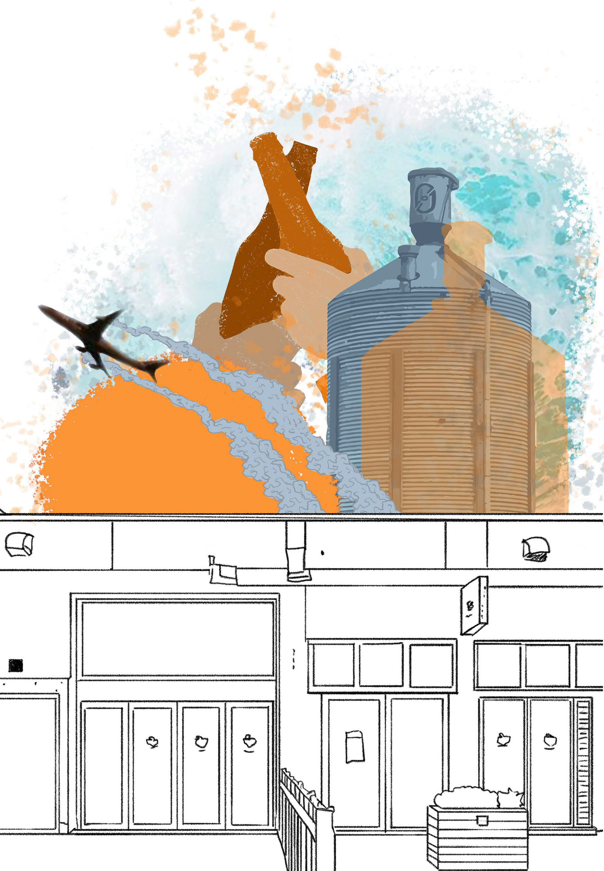
Designing a cohesive visual system that captures the community spirit & local flair.
